

Surveying
Advanced Land Surveying & Geospatial Services
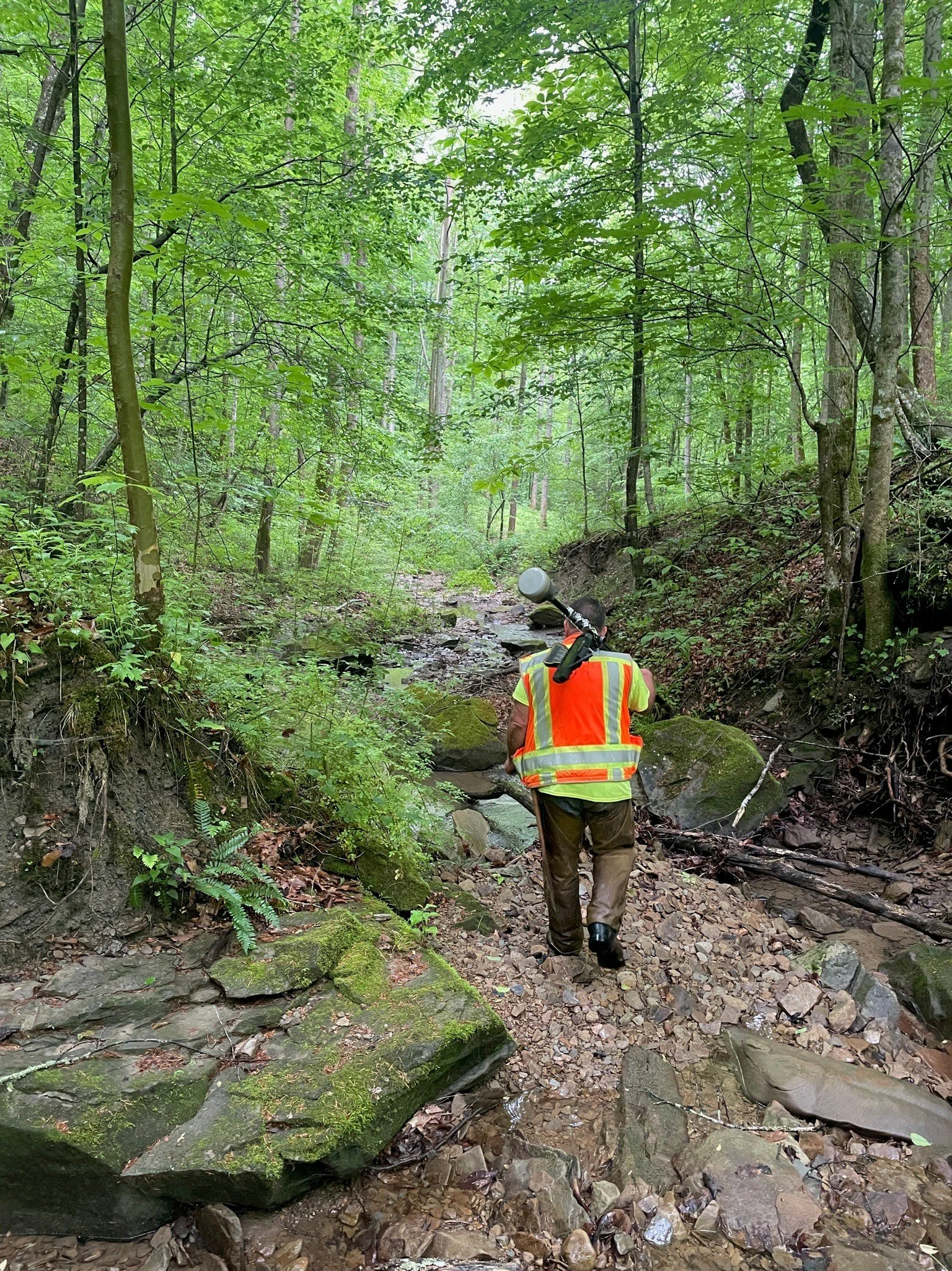
Since Palmer Engineering’s founding, our surveying practice has evolved from traditional field methods to highly accurate, technology-driven geospatial solutions. Our team embraces innovations such as satellite-based GPS, electronic distance measurement (EDM), LiDAR laser scanning, terrestrial scanning, and mobile mapping—continuously updating our equipment and workflows to ensure precise data collection, faster turnaround, and improved decision-making for every project.
For more than 55 years, Palmer Engineering has proudly served as a trusted surveying partner across Kentucky and the surrounding region. We have completed dozens of assignments under the last four Kentucky Transportation Cabinet (KYTC) Survey Contracts, ranging from large-scale topographic surveys to single-site utility locations and detailed chain of title determinations. Our long-standing relationship with KYTC spans every district, supporting roadway, bridge, structure, and environmental projects throughout the Commonwealth.
Beyond Kentucky, Palmer continues to provide exceptional surveying services under continuous contracts with:
• Tennessee Department of Transportation (TDOT)
• U.S. Army Corps of Engineers – Louisville, Nashville, and Huntington Districts
• Kentucky Finance Cabinet
• U.S. Forest Service
Palmer’s surveying expertise is strengthened by our team of nine Registered Professional Land Surveyors (PLS). We emphasize professional development, mentorship, and employee advancement—actively encouraging staff to pursue licensure and recognizing those who achieve it. This commitment ensures our clients benefit from a team dedicated to precision, integrity, and excellence in every survey we deliver.

Our surveying and geospatial capabilities include:
Electronic Distance Measurement (EDM): High-accuracy surveying with advanced electronic tools
Global Positioning System (GPS): Satellite-based surveying for precise location data
Light Detection and Ranging (LiDAR): Fast, three-dimensional laser scanning for detailed mapping
Continuously Updated Equipment: Commitment to leveraging the newest technologies for enhanced performance
Projects

Kentucky Statewide Surveying Services (Roadways)

Kentucky Statewide Surveying Services (Bridge Replacements)
